

MapArt • SKU: 1017288
MapArt Backroad Mapbook - Manitoba 3rd Edition
MapArt Backroad Mapbook - Manitoba 3rd Edition
Members save More!
CAA Members receive additional savings on all items when shopping online and at CAA Stores.
Plus Members also receive an extra 5% off the Member pricing and Premier Members receive an extra 10% off the Member pricing.
Learn More9 in stock
Couldn't load pickup availability
Cradled in Canada's geographic centre, Manitoba is home to serene stretches of wilderness interspersed with charming rural communities and rich pockets of outdoor recreation opportunity. Over half of the province's population lives in the capital city of Winnipeg, leaving the rest of Manitoba wide-open for exploring. In the south, the landscape is a diverse mix of tall prairie grass, pine forest and even desert-like sand dunes. As you move north you will encounter the majestic rock of the Canadian Shield and, further north still, a strip of Arctic tundra along Hudson Bay. Throughout the province, lakes of all shapes and sizes dot the landscape, creating an incredible abundance of fishing opportunities.
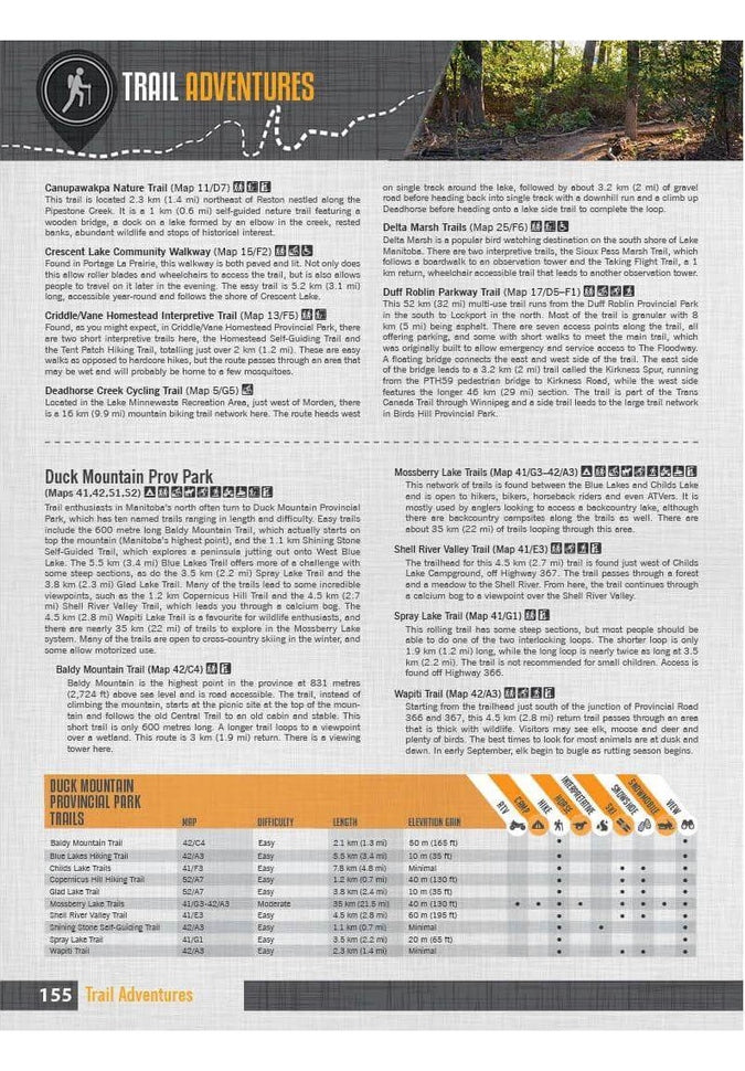
The latest edition of our Manitoba Backroad Mapbook contains extensive updates and upgrades including the addition of provincial Crown land areas on the maps, noting fish species for the majority of lakes and the bigger river systems, countless road and trail updates and a plethora of new recreational Points of Interest. The Adventures section has also undergone a thorough review with notable additions to the Backroads, Hunting, Paddling, Snowmobiling and Winter sections, plus the addition of fish stocking and trail charts.
The printed version of the mapbook comes in the convenient 21.5 x 28 cm (8.5 x 11 inch) mapbook format with a heavy-duty spiral-bound cover. The 216 page book includes 88 maps starting at 1:250,000 scale, along with 10 Outdoor Adventure sections, a Service Provider Directory, Map and Adventure Index, Trip Planning tools and more. With over 140,000 kilometres of roads to view including the most complete logging and industrial road coverage available, the books are ideal for navigating on road trips and planning from home.
Print Features
- Map Key & Legend
- Topographic Maps
- 56 @ 1:150,000 Scale Maps
- 22 @ 1:500,000 Scale Maps
- 7 @ 1:1,100,000 Scale Maps
- Detailed Adventure Section
- Backroad Attractions
- Fishing Locations
- Hunting Areas
- Paddling Routes
- Parks & Campsites
- Trail Systems
- ATV Routes
- Snowmobile Areas
- Wildlife Viewing
- Winter Recreation
- Backcountry Hut & Cabin
- Service Directory
- Accommodations
- Sales & Services
- Tours & Guides
- Index
- Adventure Index
- Map Index
- Trip Planning Tools


